
Sherwood Neighbors Block Sources
A defensible block lookup begins with parcels that share a line or face the same short stretch of road. The PAGIS Land Viewer supplies the spatial view. ARCountyData supplies assessed owners and parcel facts. Pulaski County recorded plats and bills of assurance identify subdivisions, lot and block labels, and recorded covenants. Each source describes property or a voluntary public role. None is a complete list of people inside each home.
| Source | What It Shows About a Block | Access |
|---|---|---|
| PAGIS Land Viewer | Parcel layout, adjoining polygons, and reference layers | Free web map with JavaScript |
| Pulaski assessment roll | Assessed owner, mailing and situs addresses, parcel traits | ARCountyData or assessor counter |
| Plats and bills of assurance | Subdivision, lot, block, covenants, and common restrictions | County clerk index, image, or office |
| Voter records | Only fields and uses allowed by Arkansas law | VoterView self-lookup or lawful county request |
| City civic rosters | Opt-in public board members, terms, and contacts | City pages and meeting records |
| HOA or POA material | Recorded covenants; member details only if voluntarily shared | Clerk for covenants; association for private records |
The owner mailing address and the property's situs address may differ. That could reflect an absentee owner, a trust, a mailing preference, or stale data. Even when the two addresses match, the roll does not name every occupant. Nearly three in ten occupied Sherwood units were not owner occupied in the 2020-2024 Census profile, which makes an owner-only list visibly incomplete.
If the web assessment search does not return a parcel, the Pulaski Assessor still offers counter and raw-data channels at 501-340-6170. Bring the exact street spelling, subdivision, lot and block, or a nearby parcel number. For a plat or bill of assurance that is absent from the online image set, use the Pulaski clerk's office channel. These fallbacks matter on a Sherwood block because a failed screen can reflect an index choice, browser issue, or older recording rather than an empty public record.
Map Sherwood Neighbors by Parcel
PAGIS offers the clearest answer to which properties are next door. Search or zoom to one Sherwood address, select its parcel polygon, and inspect the parcels that physically adjoin it. Add the lots across the road only when the immediate frontage matters. This method is better than drawing an arbitrary radius, which may sweep in properties separated by a creek, large tract, or different street.
- Normalize the street name and locate the target address in PAGIS. Zoom until individual parcel outlines are clear.
- Select the subject polygon. Record its parcel identifier, then click each touching polygon and the opposite frontage.
- Open each identifier in the Pulaski assessment roll. Save the assessed owner, situs, mailing address, legal description, and subdivision.
- Compare the map to the recorded plat or deed when a line or ownership claim matters. GIS layers are for reference, not legal survey proof.
The flow is compact: address → PAGIS parcel → touching parcel IDs → assessor cards → recorded plat or deed. It creates a property-based block list while preserving the line between owner and occupant. For an entire road rather than the immediate block, the Sherwood Street Directory carries the search street by street.
Sherwood Neighbor Record Differences
Official records and commercial neighbor tools are built for different ends. The assessor and clerk preserve narrow public facts with named custodians. A commercial compiler may merge public and purchased data, but freshness, identity matching, and removal practices vary. Its apparent household grouping does not override the public record's limits.
| Source type | Useful for | Main limit |
|---|---|---|
| Official parcel and assessment records | Parcel identity, assessed owner, mailing and situs facts | Not an occupant roster |
| Recorded deed or plat | Legal transfer, description, lot and block | Does not track daily occupancy |
| Voluntary civic or association record | A public role or shared community contact | Partial and purpose-specific |
| Commercial compiled tool | Possible leads to verify independently | May be stale, merged, or wrongly matched |
A Sherwood neighbors search should prefer the source closest to the fact. Use PAGIS for spatial context, the assessor for the assessed owner, and the clerk for legal title. Never infer an entire household from a compiled profile.
Sherwood Neighbors and Covenants
A residential permit form tells Sherwood applicants to check HOA, POA, and bill-of-assurance restrictions, while the city disclaims responsibility for those private rules. A bill of assurance is a recorded instrument that can place subdivision covenants on lots. Search it through the Pulaski clerk by subdivision, party, or related recording reference. Read the actual image before assuming a restriction covers the target parcel.
No official online umbrella directory of Sherwood neighborhood associations was located. That gap matters. No researched public list can safely be presented as a complete set of neighborhood groups, officers, or members. Contact information and membership rolls may remain private unless an association chooses to publish them.
The Pulaski Real Estate Department is the route for recorded plats and bills of assurance. An association itself controls its voluntary membership directory. A congregation, block-watch list, utility account, delivery list, or private roster does not become a public resident roll merely because it concerns the block.
Note: A recorded covenant can bind a parcel without making the association's current member list a public Sherwood directory.
Sherwood Neighbors in Civic Roles
The city's Planning Commission and Board of Adjustment page names resident members, terms, and contacts tied to public service. It is an opt-in civic roster, not a neighborhood list.
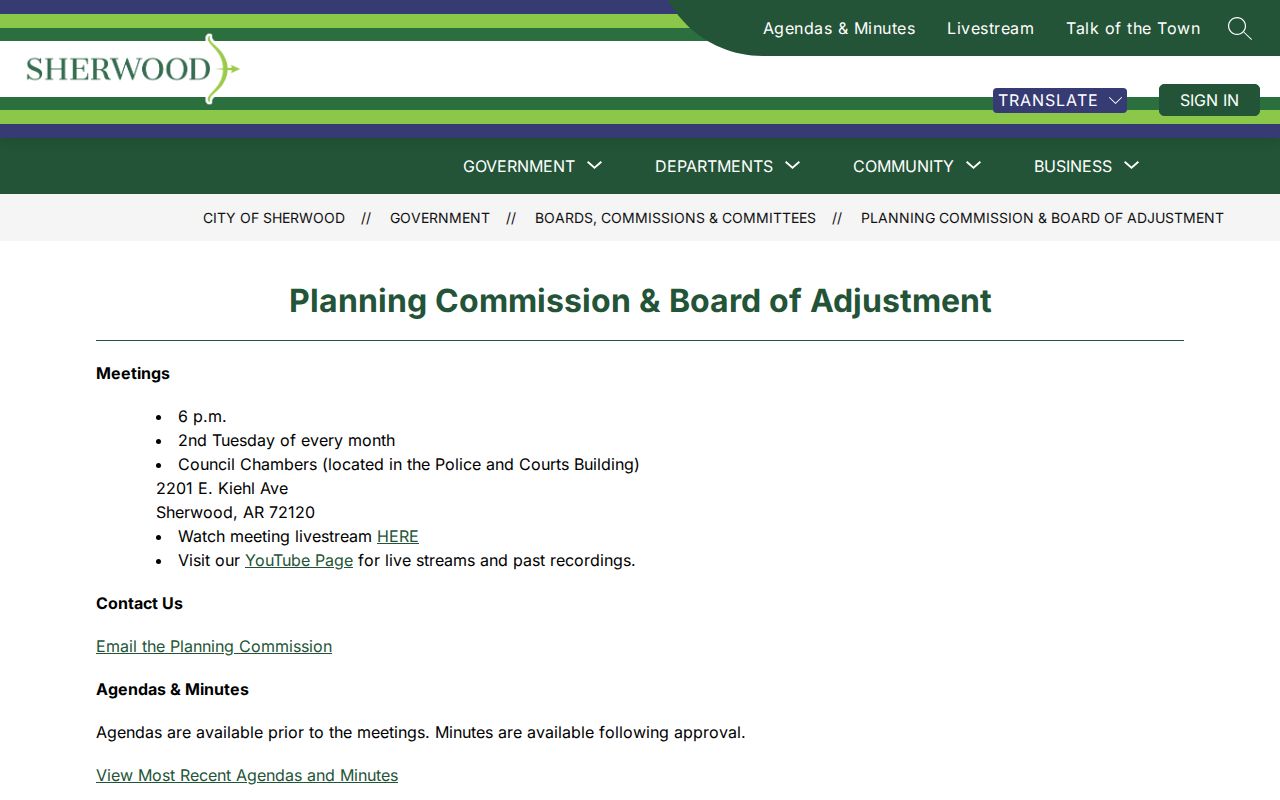
The roster identifies who serves in a public role, but it cannot be expanded into a claim about who lives on any block.
The broader Sherwood public staff directory provides names, titles, phones, and email contacts for city work.
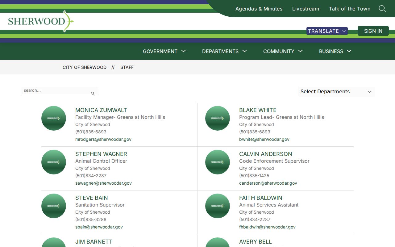
Staff records connect a person to a public office. Arkansas law separately exempts personal contact details and home addresses of nonelected public employees from agency personnel records, subject to the statute's limited verification terms.
Sherwood Neighbor Community Research
The Amy Sanders Library is Sherwood's local CALS branch and a sound first contact for community history, catalog help, newspapers, yearbooks, and referrals into the wider library system.
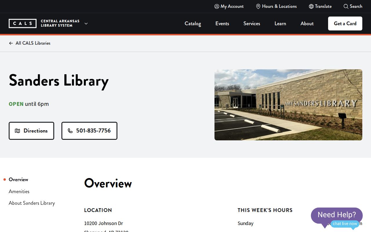
The branch page anchors the local access point, while deeper genealogy and Arkansas collections may be held through Roberts Library or CALS digital resources.
Historical sources are best for understanding how a block changed, not for claiming a current household. A reverse directory can show a named occupant at publication time. Yearbooks, local newspapers, and club reports may connect names to schools or public events. Those records remain snapshots. Each finding should be dated and checked against a second source.
Sherwood Neighbors and Voter Data
VoterView is an individual registration and polling-place service, not a public block browser. Registrant search requires first name, last name, and date of birth. Its address mode answers polling-place questions. Do not guess birth dates or treat a failed match as evidence that a person does not live in Sherwood.
Ark. Code §§ 7-5-107, 7-5-109, and 7-5-110 govern voter-list fields and lawful requests. Depending on the authorized product, records can include name, address, precinct, and election-district context. Ballot choice is never disclosed. Secure-voter addresses are withheld under Arkansas law.
Request questions go to Pulaski Voter Registration at 501-340-8336. The research found no dedicated Pulaski voter-file request form, so confirm the current export format, field set, delivery process, and charge with that office. Voter data should stay within its legal purpose and should not be merged into a speculative household list.
Sherwood Neighborhood Names Shift
Local boundary history can make a correct record look misplaced. Sherwood began in the Sylvan Hills area, incorporated in 1948, annexed Trammel Road in 1975, gained a separate ZIP from North Little Rock only in the 1990s, and annexed Gravel Ridge in 2008. An older Gravel Ridge, North Little Rock, or rural Pulaski County label may point to land now inside Sherwood.
Postal identity, city limits, subdivision names, and deed descriptions do not always cover the same ground. Use the legal description and parcel number to carry a property across those changes. A neighborhood name is a search clue, not legal boundary proof.
This geography also explains why block research should begin with today's parcel map but reach backward through the right era name. Otherwise a researcher may miss a sound source merely because its heading predates annexation.
Road names also change. The route through the former Sylvan Hills Country Club area has appeared as North Heights Highway, Ark-Mo Highway, Arkansas Highway 5, and Highway 107. When a parcel's current street does not match an older neighborhood reference, test those variants and confirm the land through its recorded description.
Sherwood Neighbors Privacy Limits
A correct neighbor lookup leaves private layers alone. Assessment records do not name nonowner occupants or every household member. Private HOA and POA member lists, utility customers, delivery records, congregation rosters, and block-watch contacts are not public resident rolls. Secure-voter addresses stay confidential, and Arkansas's Address Confidentiality Program supplies substitute addresses and mail forwarding to qualifying victims.
Public availability also does not authorize repeated unwanted contact. Arkansas statutes prohibit harassment, harassing communications, and stalking. If a record seems wrong, ask the assessor, clerk, elections office, or other source custodian about its correction process instead of broadcasting the mismatch.
Lawful use. Sherwood neighbors records support civic curiosity, reconnection, and personal safety awareness. Never use them to watch, harass, threaten, or intimidate another person.
The best block list is modest. It identifies parcels, assessed owners, recorded restrictions, and voluntary public roles while marking every unresolved occupant question as unknown.