
Walk a Sherwood Street Directory
A sound by-address search moves from the most stable identifier to records that change more often. The street name is useful, but the parcel number and legal description give stronger links when postal labels or city limits have shifted. Begin with the exact house number. Save the spelling, direction, street suffix, parcel ID, subdivision, lot, block, and any cited deed reference before opening the next source.
Use this five-step path for one address or repeat it along a named Sherwood street. Each step answers a different question, so an assessed owner should never be relabeled as a resident without separate occupancy evidence.
- Run the address through the Pulaski County assessment search and record both situs and mailing addresses.
- Open the same point in PAGIS, select its parcel polygon, and inspect each adjoining parcel in turn.
- Carry the parcel's book, page, instrument, lot, or block clue into the recorded-real-estate index.
- Use VoterView only for a legitimate individual self-lookup, or ask Pulaski Voter Registration about a lawful list request.
- For a dated occupant, move to the Roberts Library reverse-directory shelf and verify the street entry against its alphabetical listing.
This process keeps current title, mapped context, registration evidence, and old occupant snapshots separate. It also makes errors easier to spot. A parcel that does not share the same legal description should not be merged merely because a person or road has a similar name.
Search Sherwood Streets by Parcel
The Pulaski County ARCountyData search is the quickest official gateway from a Sherwood address to an assessment account. The basic record may show the assessed owner, owner mailing address, situs address, parcel number, legal description, subdivision, values, building facts, and a deed or sale reference. Expanded service is advertised at $19.99 for 100 minutes and then $0.10 per minute. The county assessor also offers a counter and raw-data channel when a web search fails.
These are the documented search modes that matter for an address query:
| Search key | Input | Required | Best street use |
|---|---|---|---|
| Property Address | Text | One key | Start with house number, road, and normalized suffix |
| Owner Name | Text | One key | Test surnames, trusts, and entity variants |
| Parcel Number | Text | One key | Reopen the exact assessment account |
| Subdivision | Text or menu | No | Group parcels within a recorded development |
| Lot / Block | Paired text | No | Bridge a street address to its plat |
| Book / Page | Paired text | No | Bridge the parcel card to a deed |
| ZIP / City | Filter | No | Narrow broad results when the search tier supports it |
The physical location is the situs address. The mailing address is where the tax notice goes. A mismatch can reflect a trust, an owner elsewhere, a preference, or a lag. It does not name a renter or prove where the owner sleeps.
Map Sherwood Streets in PAGIS
The PAGIS Land Viewer adds the spatial layer that a text result lacks. Search or zoom to a Sherwood address, select the parcel polygon, and then click the parcels beside it and across the road. Common controls include address or place search, zoom, pan, identify, layer list, legend, measure, print, and share. The viewer needs JavaScript, and its exact tool set can change.
The successful Pulaski County assessor GIS source shows the county's public mapping entry used for a mapped address search.
The GIS screen is a map bridge, not a deed. PAGIS gives parcel shape and context, while recorded plats and deeds control legal acreage and ownership. Keep that distinction when a line on the screen appears to conflict with a recorded description.
Map-to-record flow. Sherwood address → PAGIS parcel → assessor account → book or instrument reference → recorded deed or plat.
Compare Sherwood Street Records
No Sherwood address source stands alone. Pulaski County keeps assessment, mapping, deeds, plats, tax, and voter administration records. Sherwood keeps permit and code files. CALS keeps the reverse-directory layer. The coverage table shows which channel answers each address question and where a fallback exists.
| Address source | Keeper | Street evidence | Access route |
|---|---|---|---|
| Assessment roll | Pulaski Assessor | Owner, situs, mailing address, parcel facts | ARCountyData, counter, or raw data |
| Parcel map | PAGIS / Assessor | Adjacency and reference layers | Free web viewer |
| Deeds and plats | Pulaski Circuit and County Clerk | Transfers, parties, legal description, subdivision | Web from 1994; research room earlier |
| Voter records | Pulaski Voter Registration | Registration and precinct fields allowed by law | VoterView self-lookup or list request |
| Permits | Sherwood Permits & Planning | Construction address, applicant role, contractor, work | Department or focused FOIA request |
| Reverse directories | CALS Roberts Library | Dated occupant under street and house number | Research Room volumes and microfilm |
VoterView is not a block browser. Its registrant search requires first name, last name, and date of birth. Arkansas law provides a separate route for electronic voter lists through the county, with protected addresses excluded. Ask Pulaski Voter Registration at 501-340-8336 about fields, format, delivery, and the lawful charge instead of guessing identity data.
Decode Sherwood Address Records
A few land terms prevent costly wrong turns. They connect the modern Sherwood street name to the legal record even when postal geography changes.
- Parcel
- The assessor's mapped tax unit, identified by an account or parcel number.
- Situs address
- The physical property location, distinct from the owner's mailing destination.
- Plat
- A recorded subdivision map showing lots, blocks, streets, and related boundaries.
- Legal description
- The lot, block, subdivision, or metes-and-bounds text that identifies land in a deed.
- Criss-cross directory
- A reverse listing arranged by street and house number rather than by surname.
A legal description is the best continuity key. A road label, postal city, or ZIP can change while the recorded lot and block remain the same. Always compare the full description before joining two records.
Carry Sherwood Addresses into Deeds
The Pulaski County Real Estate Department links its recorded-real-estate search. Start with the instrument or book and page cited on the parcel card. If that clue is absent, search the current owner's surname and narrow by first name, date, and document type. Results can expose grantor and grantee roles, instrument type, recording date, instrument number, legal-description reference, and an image or copy-order control.
Grantor means the party transferring an interest. Grantee means the party receiving it. To trace back, read the current acquisition deed, then search its seller as a grantee in an earlier purchase. Match the legal description at each step. The same surname is never enough.
Online review covers 1994 to the present. The clerk's research area holds scanned land records reaching as early as 1819. Pre-1994 work requires an online appointment for a two-hour slot at 8:15, 10:15, 12:15, or 2:15, Monday through Thursday. Phone and email bookings are not accepted, and researchers are limited to two appointments per week. Two public computers are available there.
Note: An online miss may mark the 1994 cutoff or an index variant, not the absence of a recorded Sherwood deed.
Read Sherwood Streets in Reverse
Ownership does not settle occupancy. At the Roberts Library Research Room, metropolitan city directories from 1921 through the current volume include cross-reference sections in at least some volumes. Find the street heading, move to the house number, transcribe the listed occupant, and then confirm that name in the alphabetical section. Each entry is only a dated snapshot.
Sherwood incorporated in 1948, received its first post office in 1966, and lacked a separate ZIP until the 1990s. Earlier residents may appear under Sylvan Hills, North Little Rock, or rural Pulaski County. Gravel Ridge did not join Sherwood until 2008. The full shelf and its reading method belong to the Sherwood Directory Book; the street task is simply to use the reverse listing as one piece of address evidence.
Roberts Library is at 401 President Clinton Avenue in Little Rock. Its Research Room posts Tuesday through Friday hours of 10:00 to 5:00 and Saturday hours of noon to 4:00. Amy Sanders Library in Sherwood provides local computer and database access, but the major directory holdings are at Roberts.
Sherwood Street Geography Shifted
Five geographic eras can hide a correct address under a different heading: the Sylvan Hills settlement, the 1948 incorporation, the 1975 Trammel Road annexation, the 1990s postal separation, and the 2008 Gravel Ridge annexation. Search the name used during the record's date. A North Little Rock mailing label or an older Gravel Ridge entry may still point to land now inside Sherwood.
Road variants matter too. The route through Sylvan Hills Country Club and the Greens at North Hills has been called North Heights Highway, the Ark-Mo Highway, Arkansas Highway 5, and Highway 107. Present Loop, Kellogg, Johnson, and Miller roads also connect to the Sylvan Hills development of the 1920s. These are search terms, not proof that two parcels are identical.
Annexation changes city identity without rewriting every older deed, directory, or postal record. Preserve both the historic place label and today's Sherwood address label in research notes.
Sherwood Permits Preserve Address Roles
Sherwood's residential permit form asks for the construction address, project or business name, contractor, and a combined ownership or occupancy role. That label creates ambiguity. A person named there must not be called the owner unless the assessor or deed supplies that role. Permits can date work at a property, but they do not prove continuous residence.
Use the Engineering, Permits & Planning office or submit a focused city records request that gives the exact construction address, record type, and date range. This is the fallback because the research did not verify a complete public online permit index. Ask for an existing address file rather than demanding that the city create an occupant list.
Note: A permit applicant, contractor, assessed owner, and person living at the site may be four different people.
Protect Sherwood Recorded Names
The clerk's Property Fraud Alert offers free email notice when a new Pulaski County document contains a subscribed personal, business, or trust name. Users can register multiple names and spelling or entity variants. The service is county-specific, follows names rather than street addresses, and is neither title insurance nor a guarantee of valid ownership.
The official source screen below shows the enrollment page tied to Sherwood street records.
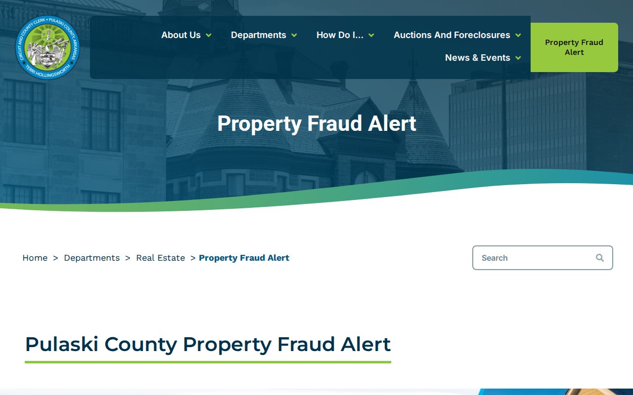
The alert is most useful after a deed search reveals the exact forms of a person's or entity's name. It adds a current notice layer without changing the need to read the recorded instrument itself.
Limits of Sherwood Street Directory
A Sherwood address search cannot safely produce a full household roster. Assessment records identify assessed owners, not all occupants. Deeds record legal transfers, not every move. Permits document a project and named roles at filing. Reverse directories freeze one publication date. Voter records omit protected addresses and operate under specific access rules. Private utility and association rosters do not become public resident rolls merely because they relate to a street.
Secure-voter addresses are confidential under Arkansas law. DMV personal information is also restricted. A missing entry can mean the data is private, sealed, not yet processed, indexed under an older place name, or available only at a counter. Respect each boundary and stop where the lawful trail ends.
Lawful use. Use Sherwood address records for family history, property research, consumer safety, or civic curiosity. Never use them to stalk, harass, intimidate, or harm anyone.